
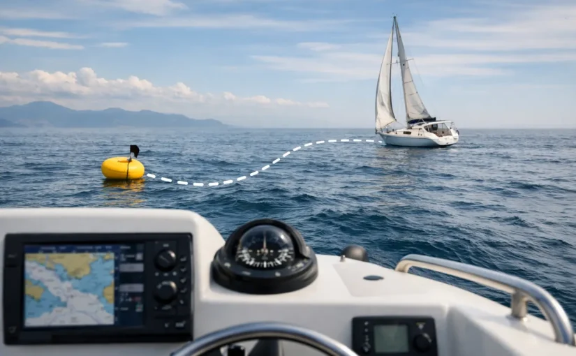
A boat can move a surprising distance before anyone on board notices. A shifting wind, reversing tide, dragging anchor, loose dock line, or failed shore power system can turn a normal afternoon into a grounding, collision, or recovery call. Knowing how to track boat drift gives you time to act while a small movement is still a manageable problem.
Boat drift is not limited to vessels at anchor. It can happen at a mooring, tied to a dock, on a trailer near a launch ramp, or during a slow maneuver in current. The right tracking method depends on where the boat is, what is causing the movement, and whether someone is aboard to verify the situation.
Start by Identifying What “Drift” Means for Your Boat
At anchor, drift usually means the vessel has moved outside its expected swinging area. That may be caused by an anchor that is dragging, a rode that has chafed or parted, or an anchor that was never properly set. A boat will naturally swing with wind and current, so movement alone is not proof of an emergency.
At a dock or marina, drift can mean something different. The boat may be moving farther from the slip than expected because lines are loose, a cleat has failed, fenders have shifted, or rising and falling water has changed line tension. It can also mean unauthorized movement. A vessel leaving its normal berth should trigger immediate attention, even if the movement appears minor at first.
Underway, drift is the difference between where the boat is pointed and where it is actually traveling over the bottom. Wind and current push a vessel sideways, particularly at low speed. This type of drift is a navigation concern, not necessarily a security event. Track it with your chartplotter, compass, GPS course over ground, and visual references.
The key is to establish an expected position and an acceptable movement range before you need it.
Use GPS Position as Your Primary Drift Reference
GPS is the most dependable starting point for tracking position over time. A chartplotter, handheld GPS, phone navigation app, or dedicated boat monitoring system can show where the boat is and where it has been. For unattended vessels, a permanently installed GPS monitor provides a major advantage: it continues reporting after you leave the dock or anchorage.
When anchoring, record the boat’s position once the anchor is set and the vessel has settled into its natural swing. Then consider the full swing radius. That radius is not simply the length of rode deployed. It is affected by water depth, scope, tide, wind direction, current, and the distance from the bow to the GPS antenna.
For example, if you are in 12 feet of water and have deployed 84 feet of rode, the boat may travel in a wide circle around the anchor as conditions change. Setting a 30-foot alarm radius would produce nuisance alerts. Setting a radius so wide that it reaches nearby shoals or other boats defeats the purpose. The right alarm radius gives the boat room to swing while still warning you before it enters unsafe water.
At a dock, use a much tighter geofence. Your goal is not to monitor normal movement in the slip. Your goal is to know if the boat leaves its defined location. A GPS geofence should account for normal GPS variation, but it should be small enough to identify a vessel that has slipped lines, been moved without authorization, or begun drifting away from the dock.
Check Position History, Not Just the Current Pin
A single GPS point tells you where the boat is now. Position history tells you whether it is moving, how quickly it moved, and in what direction. This matters when assessing an alert.
A boat that changes position slightly and then remains stable may be responding to a tide shift or normal GPS variation. A boat whose track shows steady movement away from an anchorage, marina, or mooring needs immediate follow-up. Historical position data also helps identify recurring issues, such as a mooring field that exposes the vessel to a particular current or a slip where lines loosen at extreme tide.
Confirm Drift With Bearings and Visual Landmarks
GPS is powerful, but every prudent boater should know how to verify drift without relying on one device. When aboard at anchor, use a visual range or bearing.
Pick two fixed landmarks that line up from your boat, such as a tower and a point of land, or a channel marker and a shoreline structure. If their alignment changes, your boat has moved relative to the bottom. A compass bearing to a fixed object provides the same confirmation. Take the bearing, wait several minutes, and take it again. A meaningful change that cannot be explained by normal swinging deserves attention.
Use more than one reference when possible. A single landmark may be hard to judge in poor visibility or changing light. Two independent references make it easier to separate normal swing from actual dragging.
At night, radar overlay and an anchor-watch function on a chartplotter can provide another layer of confirmation. These tools are useful, but they do not replace a properly set anchor, an inspected rode, and a watch when conditions are building.
Set an Anchor Alarm That Matches the Conditions
An anchor alarm is only useful if it is configured correctly and heard by someone who can respond. Before relying on one, make sure the GPS position is accurate and the alarm center is based on the anchor location or the vessel’s settled position, depending on the system.
Many navigation apps and chartplotters allow you to set a circular alarm radius. Start by calculating your likely swing area, then add a reasonable buffer for GPS accuracy and changing conditions. Recheck the alarm if wind, tide, or scope changes significantly.
Avoid treating an anchor alarm as proof that everything is safe. It detects movement after it begins. Good anchoring practice still comes first: select suitable bottom, use adequate scope, set the anchor with reverse power when appropriate, inspect the rode and shackles, and watch the boat long enough to confirm it is holding.
For overnight anchoring, use layers. A GPS anchor alarm, visual bearings, depth awareness, weather monitoring, and an active watch plan cover different failure points. If the wind is forecast to shift sharply, a previously safe swing circle may no longer be safe because of surrounding boats, shoreline, or shoal water.
Track Unattended Boat Drift With Remote Alerts
The hardest drift event to manage is the one that starts after you have gone home. A marina neighbor may notice a boat moving. Or they may not. By the time a dock manager calls, the vessel may already be against another boat, adrift in a fairway, or taking on water after impact.
A connected monitoring system gives you continuous position visibility and can alert you when a boat crosses its assigned geofence. The most effective setups do more than report GPS movement. They connect movement alerts with other warning signs that explain why the vessel may be at risk.
A position alert paired with a high-water alert could indicate that the boat has struck something or is flooding. A movement alert following shore power loss may point to a failed battery charger, depleted batteries, and a loss of bilge-pump protection. A door or hatch alert combined with GPS movement may indicate unauthorized access. Context turns an alert into a clearer response decision.
EverWatch Systems can monitor GPS position and geofencing alongside shore power, battery health, bilge activity, water intrusion, hatches, temperature, humidity, and NMEA2000 vessel data. Alerts can reach you through push notifications, SMS, email, or phone calls, helping you respond even when you are not checking an app. For owners who travel, manage multiple boats, or keep a vessel unattended for long stretches, that persistent oversight matters.
Build a Response Plan Before an Alert Arrives
A drift alert should not force you to invent a plan at midnight. Decide in advance who can physically check the boat if you are out of town. That may be a marina manager, trusted neighbor, captain, service provider, or family member with access to the vessel.
Keep the response simple. Verify the current GPS position and movement history. Check related alerts, especially high water, shore power, battery, hatch, and bilge activity. Call the designated on-site contact if the boat is outside its expected area or continuing to move. If there is imminent collision, grounding, flooding, or danger to people, contact the marina, harbor authority, or emergency services as appropriate.
Also review false alerts. Repeated nuisance notifications lead people to ignore the one that matters. Adjust geofence size, check GPS placement, and account for normal vessel movement. The goal is not maximum notifications. The goal is a notification you trust enough to act on immediately.
Know the Limits of Each Method
No single tool tracks every type of drift perfectly. GPS can be affected by signal accuracy, antenna location, and a vessel’s normal swing. Visual bearings require visibility and someone aboard. Phone apps depend on battery life, connectivity, and notification settings. A chartplotter alarm may not help if shore power fails and onboard batteries are already weak.
That is why layered monitoring is the practical answer. Use solid anchoring or dock line practices to prevent movement. Use GPS and geofencing to detect unexpected movement. Use vessel-condition monitoring to understand whether drift is tied to power loss, water intrusion, or another onboard problem. Then make sure alerts reach a person who can respond.
A drifting boat rarely announces itself with a dramatic first sign. More often, it starts with one small position change. Set your reference points, define your safe boundary, and make sure the warning reaches you before that movement becomes damage.