
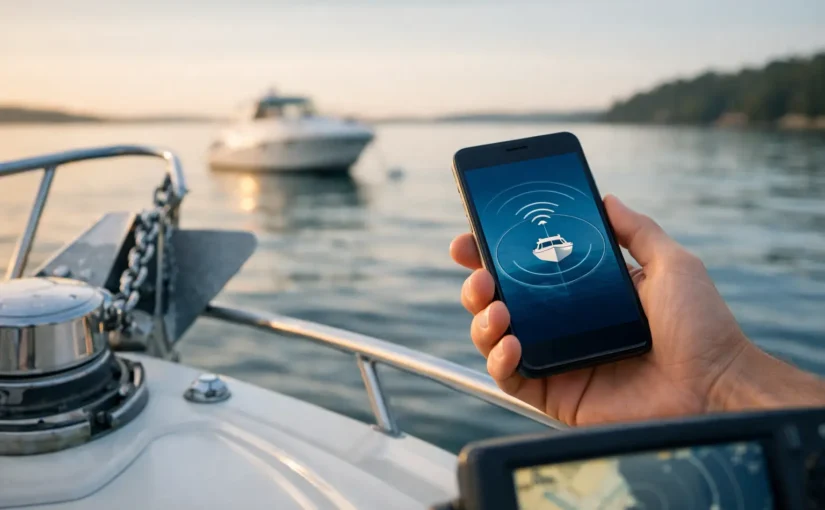
A quiet anchorage can change fast. A wind shift, reversing tide, soft bottom, or a set that was never quite secure can move a boat before anyone aboard realizes it. When you set up remote anchor alerts, you create a second line of awareness – one that keeps watching your vessel’s position after you leave the helm, go ashore, or turn in for the night.
A remote anchor alert is not a replacement for proper ground tackle, a sound anchoring technique, or a responsible anchor watch. It is a practical way to detect unexpected movement early, when you still have time to respond. The goal is simple: know when your boat has moved beyond the area you consider safe, and receive that warning wherever you are.
What Remote Anchor Alerts Actually Watch
Anchor alerts use GPS position data to compare your boat’s current location against an established reference point and permitted movement area. If the vessel crosses that boundary, the monitoring system sends an alert. The alert may reach you through a mobile push notification, text message, email, or phone call, depending on how you configure escalation.
That sounds straightforward, but a useful anchor alert accounts for the fact that boats are supposed to move at anchor. Your vessel will swing with wind and current. It may travel through a wide arc as rode pays out or conditions change. The right alert radius gives the boat room to swing while still identifying movement that suggests dragging, a parted rode, or unauthorized relocation.
For remote monitoring to be useful after you leave the boat, the system also needs dependable onboard power and a path to communicate off the vessel. A GPS tracker that only reports when it happens to be connected to your phone is not enough for a boat left alone overnight or for weeks at a time. A marine monitoring platform with cellular and Wi-Fi connectivity can continue reporting position and delivering alerts when you are miles away.
How to Set Up Remote Anchor Alerts Correctly
Start only after the anchor is set and the boat has settled into its normal swing. Do not create the alert zone while you are still backing down, paying out rode, or drifting into position. The GPS reference should reflect the vessel’s true anchored location, not a temporary point during the anchoring process.
Confirm the GPS position
Open your monitoring app and confirm that the displayed vessel position makes sense. Compare it to the chart, nearby landmarks, or your chartplotter. A small amount of GPS variation is normal, but a consistently inaccurate position needs attention before you rely on it for anchor protection.
Also confirm that the monitoring controller is receiving a usable GPS signal and has an active communications connection. A position alarm cannot protect a boat if the device has lost power, is unable to report, or is mounted where satellite reception is compromised.
Set a realistic movement radius
The most common anchor-alert mistake is choosing a radius that is too tight. An overly aggressive boundary produces nuisance alerts every time the boat swings, and repeated false alarms train owners to ignore the warning that matters.
Your radius should reflect the vessel’s expected swing circle, rode length, water depth, tidal range, and nearby hazards. A boat anchored in open water with generous room can use a wider boundary than a boat in a crowded harbor, but that wider boundary may delay warning if the anchor starts to drag. It depends on the space around you and how quickly movement could create a problem.
Think beyond the boat’s current location. Consider where the boat can travel at the full extent of its rode, then add an appropriate margin for ordinary GPS variation and normal swing. If your swing circle approaches another anchored boat, a channel edge, shallow water, docks, rocks, or shore, your anchoring plan needs review before an app setting can solve the risk.
Choose alert channels that get your attention
A remote anchor alert only works if you see or hear it. Push notifications are convenient for routine monitoring, but they can be missed when a phone is silenced, out of service, or buried in a bag. For a high-consequence event, configure more than one delivery method.
A strong alert plan uses push notifications for immediate visibility, SMS or email for backup, and phone-call escalation for urgent movement. If you operate multiple boats or share responsibility with a captain, family member, marina manager, or vessel partner, assign the right people to receive the warning. Everyone does not need every notification, but someone must be ready to act.
Test the alert before relying on it
Do not wait for a stormy night to find out whether alerts are enabled, contacts are current, or cellular coverage is weak at your anchorage. Test the notification workflow under controlled conditions. Confirm that the app shows the correct location, the alert reaches your phone, and your secondary notification channel works as expected.
Testing also reveals whether the selected radius is practical. If normal swing triggers repeated warnings, adjust the boundary. If the radius is so large that meaningful movement would go undetected for too long, tighten it and reassess the anchoring location.
Pair Position Alerts With the Conditions That Cause Problems
Position is the outcome. The conditions around your boat often tell you why it happened. That is why anchor monitoring is stronger when it is part of a connected vessel-protection system rather than a standalone GPS dot on a map.
Wind can build after dark. Shore power may not apply at anchor, but battery health becomes even more critical when onboard systems are running. Bilge activity can increase after heavy rain, a failed hose, or water intrusion. A low-voltage condition can threaten the very monitoring equipment you depend on to report trouble.
With EverWatch, boat owners can pair GPS and geofence awareness with battery monitoring, high-water detection, bilge activity, intrusion sensors, temperature and humidity alerts, and selected NMEA2000 vessel data. That broader view matters because an anchor event may not be the only issue developing aboard. A boat that has moved unexpectedly, lost battery voltage, and begun cycling a bilge pump deserves immediate attention.
Avoid the False-Alert Trap
False alerts are not merely annoying. They weaken response discipline. The remedy is not to disable anchor alerts. It is to tune them for the vessel, anchorage, and conditions.
Review the radius after major changes in wind direction, tide, scope, or anchoring position. If you re-anchor, reset the reference point. If you move from a quiet cove to a busy harbor, reconsider the alert zone and your escalation rules. A setting that worked in one location may be wrong in the next.
It also helps to separate routine location awareness from an urgent anchor-drag alert. Use a manageable boundary for the immediate safety alarm, then check the map periodically for context. The live view tells you where the boat is. The alert tells you when it is time to stop what you are doing and respond.
What to Do When an Anchor Alert Arrives
Treat an unexpected position alert as a prompt to verify, not a reason to panic. Open the app and check the current location, movement direction, and recent position history if available. Consider wind, current, tide, and whether the boat may simply be swinging normally near the edge of its permitted area.
If the movement appears real, act quickly. Contact someone aboard, return to the vessel if you are nearby, or arrange local assistance if you are away. In a marina-adjacent anchorage or managed harbor, notify the appropriate local contact when there is a genuine risk of collision, grounding, or obstruction.
Avoid assuming the alert is a technical error just because conditions seem calm. Dragging can start slowly. A boat can also move because the anchor rode has failed, another vessel has fouled the gear, or someone has boarded and relocated it. The value of remote monitoring is early awareness, not certainty about the cause.
Set the System Before You Need It
The best time to configure anchor alerts is on a calm day, with a charged phone, a verified GPS signal, and no pressure to make decisions fast. Build the alert plan into your anchoring routine: set the hook, confirm position, establish the radius, verify notification delivery, and review the boat’s power and bilge status.
Then let the system stand watch while you enjoy the part of boating that brought you out there in the first place. Your boat may swing at anchor. Your awareness should not drift with it.